
On this page
The Short Answer
Flooding is a genuine consideration across parts of Lagos's coastal property market. However, flood exposure varies by neighbourhood, street, elevation, drainage infrastructure, proximity to water and the design of the individual property.
- Lekki Phase 1
- Documented flood exposure.
- Victoria Island
- Documented coastal and lagoon-related flood exposure.
- Ikoyi
- Exposure exists, but varies considerably by location.
- Banana Island
- Some exposure is indicated in wider modelling; estate infrastructure matters.
- Eko Atlantic
- Purpose-built coastal development with major engineered coastal-defence and drainage infrastructure.
Buyer overview
Flood Risk Across Lagos's Prime Property Markets
| Location | Flood exposure | Key consideration |
|---|---|---|
| Lekki Phase 1 | Documented | Low-lying coastal setting, drainage and street-level conditions |
| Victoria Island | Documented | Coastal and lagoon exposure, drainage and elevation |
| Ikoyi | Varies by location | Street elevation, drainage and proximity to waterways |
| Banana Island | Some exposure indicated | Estate infrastructure, drainage and elevation |
| Eko Atlantic | Different risk profile | Engineered coastal protection and planned drainage |
This is a comparative advisory summary, not an official government flood-risk rating. Flood exposure can vary significantly within each neighbourhood.
Practical consequences
Why Flood Risk Matters When Buying Property
For anyone buying property in Lagos, flood exposure is both a building question and a day-to-day usability question. It may affect access during intense rainfall, tenant experience, ground-floor accommodation, parking, maintenance routines, commercial activity, insurance conversations and eventual resale appeal.
Frequency matters, but so do depth, duration and whether water enters a building. A street that briefly carries surface water is not the same condition as a basement that takes in water, an entrance that becomes inaccessible, or ground-floor services repeatedly exposed to moisture.
A premium location does not automatically mean a flood-free property.
That is why flood risk property due diligence should move from the broad reputation of a district to the exact street, access route, plot level and building design.
Before an inspection
How to Read Flood Evidence Carefully
Begin with the distinction between a statement and evidence. “This property does not flood” is a statement. Dated photographs after intense rainfall, facility-management records, drainage drawings, measured entrance and floor levels, pump-maintenance logs and accounts from long-term occupants are evidence that can be examined and compared.
Timing also matters. A midday inspection in dry weather may reveal little about how a road performs after several hours of rain or when lagoon levels are elevated. Where possible, ask about more than one major rainfall event and establish whether the account relates to the building, its frontage, the connecting street or the wider neighbourhood. These are different conditions with different practical consequences.
For an apartment, review shared infrastructure as carefully as the unit itself. A high-floor apartment may remain dry while residents still face a flooded entrance, inaccessible underground parking, damaged electrical equipment or interrupted services. Ask who maintains drains and pumps, how backup power supports water-management systems and whether remedial work followed any previous incident.
For a house, inspect the relationship between the road, gate, compound and finished floor. Look for water marks, freshly repaired lower walls, raised thresholds, improvised barriers or pumps, while recognising that none of these details proves a flood history on its own. A surveyor or engineer can interpret levels, drainage routes and building details more reliably than appearance alone.
Finally, test access beyond the plot. A building can perform well while its principal route becomes difficult to use. For an owner-occupier, tenant or business, dependable access may be as important as keeping water outside the building. Property-specific review should therefore cover the full journey from the main road to the apartment or house—not only the interior being offered for sale.
Location 01
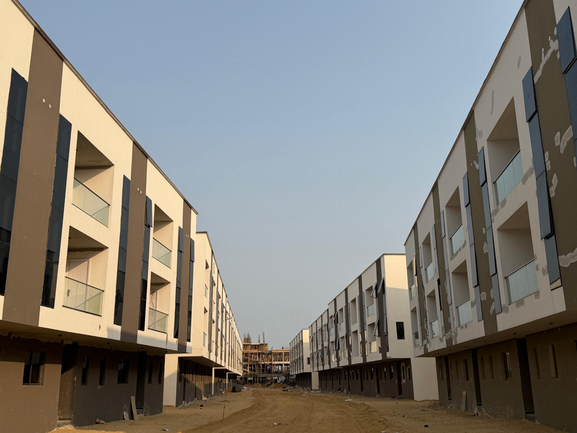
Lekki Phase 1 Flood Risk
Lekki Phase 1 is a major premium residential and commercial market, but it sits within the wider low-lying coastal environment of the Lekki Peninsula. Published academic analysis found that approximately 37% of the peninsula lies between 0.5 and 3 metres above mean sea level, with the remaining 63% between 3 and 5 metres. That describes the wider peninsula rather than the elevation of every Lekki Phase 1 street. Source
Historical flood events and academic work focused on Lekki Phase 1 have documented flooding and examined its relationship with residential property values. The research does not mean every property floods or that a single effect applies to every value. It does show why elevation, drainage performance and access should form part of buying property in Lekki. Property-value study
For a buyer, the practical difference may be found within a short distance: one road can drain differently from the next, and two developments on the same street can have different entrance levels, finished-floor heights and stormwater systems.
What buyers should check
- Exact street
- Road elevation
- Property elevation
- Drainage
- Previous flood depth
- Water clearance time
- Whether water has entered the building
Location 02
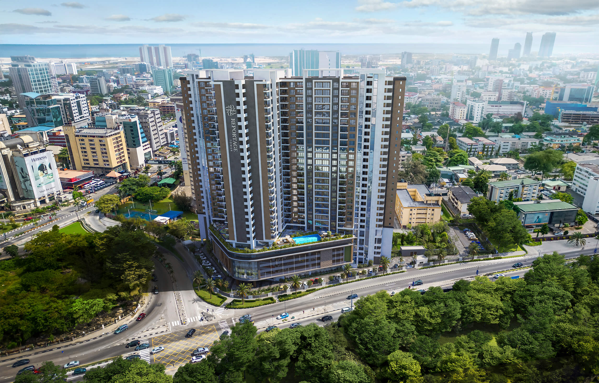
Victoria Island Flood Risk
Victoria Island occupies a coastal setting influenced by both the Lagos Lagoon and the Atlantic environment. Published research has documented flood exposure in the district, while historical work records the role of coastal processes. Victoria Island research
After major rainfall in July 2024, Lagos State's environment commissioner explained that elevated lagoon and sea levels delayed the discharge of rainwater for a period. The important lesson is that drains need somewhere to release water: drainage capacity alone cannot eliminate flood exposure when the receiving water level is elevated. Government statement reported by ThisDay
A useful buyer question
Where does the property's stormwater ultimately discharge?
Review elevation, drainage, lagoon proximity, historical flood performance, building design and basement or parking arrangements. Ask what happened during previous intense rainfall rather than accepting a general statement that “the area is fine.”
Explore properties in Victoria IslandLocation 03
Does Ikoyi Flood?
Yes, parts of Ikoyi have documented flood exposure, but conditions vary considerably within the neighbourhood.
Ikoyi contains established streets, waterfront locations, reclaimed areas, managed estates and new developments. Wider modelling of Lagos Island and Eti-Osa identifies meaningful flood vulnerability across the study area, but the available model does not support a precise property-level rating for Osborne, Ikoyi West or every named Ikoyi sub-market. Wider flood-vulnerability study
For property buyers, this limitation is important. A broad flood map is useful for context, but it cannot substitute for site levels, drainage plans, evidence from previous storms and a building inspection. Neighbourhood-level labels can be misleading in a market with such varied physical conditions.
For Ikoyi buyers, investigate
Site elevation, drainage, waterfront proximity, historical flood experience, basement parking and stormwater management.
Explore properties in Ikoyi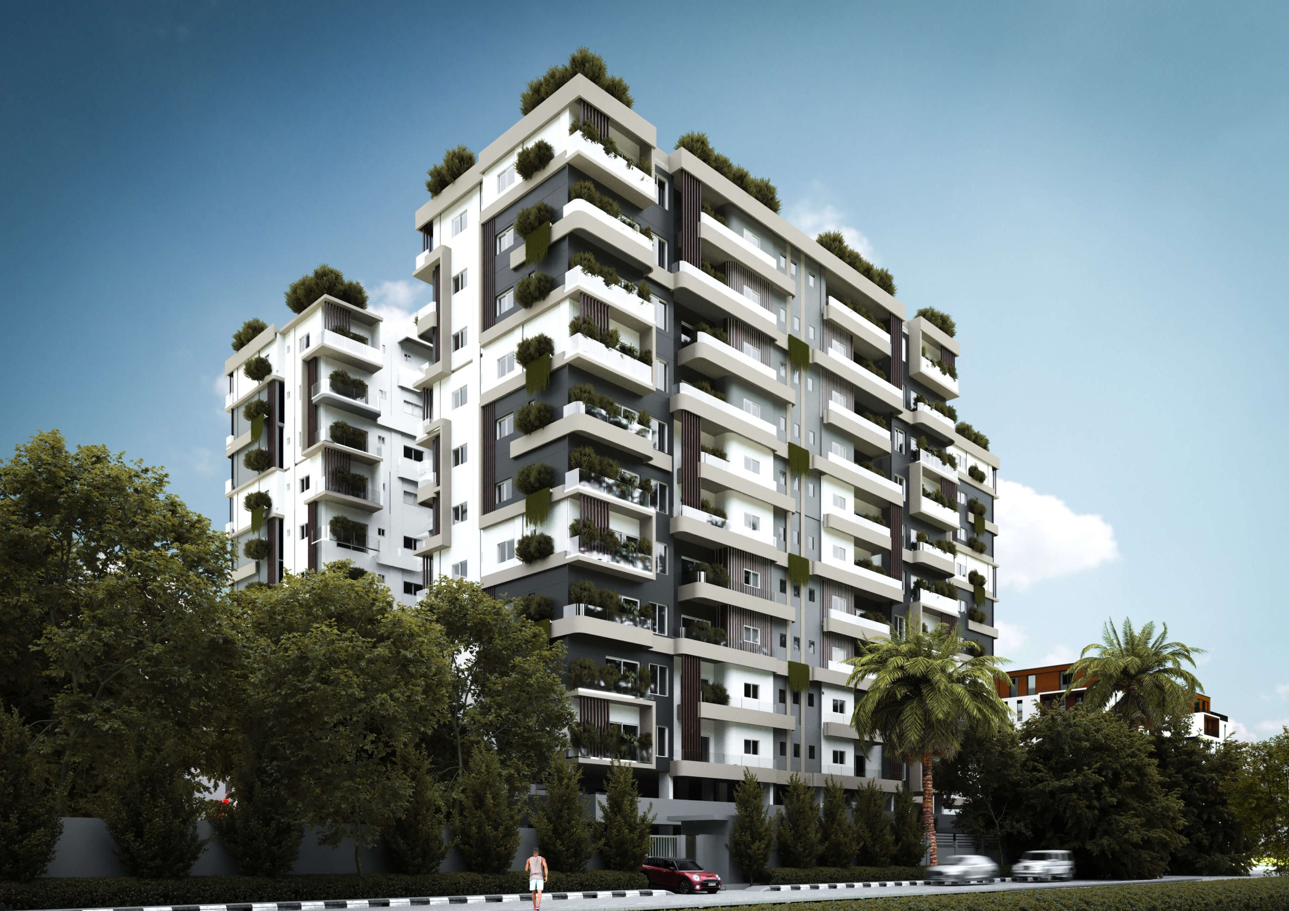
Location 04
Does Banana Island Flood?
Banana Island is not completely free from flood exposure.
Banana Island sits within an engineered, estate-managed waterfront environment. Broader flood-vulnerability modelling for Eti-Osa indicates exposure across parts of the wider local-government area; however, the available academic evidence does not justify assigning a uniform flood depth or simple safe/unsafe label to Banana Island itself. Eti-Osa modelling
The estate environment makes infrastructure an especially important part of the assessment. Road levels, drains, outfalls and maintenance influence practical performance, while individual buildings add another layer through entrance thresholds, basements, pumps and finished-floor levels.
Buyer checklist
Estate drainage, road levels, building elevation, stormwater management, basement parking, drainage maintenance and historical performance.
Explore properties in Banana IslandLocation 05
Does Eko Atlantic Flood?
Eko Atlantic is fundamentally different from older Lagos neighbourhoods because it is a planned coastal development built on reclaimed land with major engineered infrastructure. Official project information describes the Great Wall of Lagos, coastal protection, planned drainage and elevated streets designed around the city's master plan. Great Wall information · Infrastructure information
Those are material design features, but they should be described accurately: they are official developer claims and design information, not a promise that every building or access route is flood-proof. The project's environmental assessment provides further context on its coastal setting. Environmental assessment
Eko Atlantic has been designed with major coastal-defence and drainage infrastructure, but it remains a coastal development and long-term coastal risk remains relevant.
When buying property in Eko Atlantic, review the individual building, basement and parking arrangements, site access, maintenance responsibilities and the assumptions behind any water-management systems.
Explore properties in Eko AtlanticNo rankings
Lekki Phase 1 vs Victoria Island vs Ikoyi vs Banana Island vs Eko Atlantic
The five locations combine different natural settings, generations of infrastructure and building types. The comparison is descriptive: it does not name a winner or turn incomplete evidence into a numerical score.
| Location | Physical setting | Evidence | Main consideration | What buyers should investigate |
|---|---|---|---|---|
| Lekki Phase 1 | Low-lying coastal peninsula | Published studies and historical events | Street drainage and access | Road and floor levels; flood history; clearance time |
| Victoria Island | Between lagoon and Atlantic coastal systems | Published research and historical records | Established drainage in a tidal receiving environment | Discharge route; lagoon conditions; parking and entrances |
| Ikoyi | Mixed mainland-edge, waterfront and reclaimed settings | Exposure varies within wider Eti-Osa modelling | Street- and estate-specific | Site elevation; waterfront proximity; stormwater management |
| Banana Island | Reclaimed, estate-managed waterfront environment | Some exposure indicated within broader modelling | Estate roads, drainage and maintenance | Road levels; basements; drainage maintenance; history |
| Eko Atlantic | Purpose-built reclaimed coastal city | Coastal risk addressed through engineered works | Major sea defence and planned drainage | Building detail; access; maintenance; long-term coastal assumptions |
AOP Homes framework
Flood Risk Is Not Just About Geography
Natural exposure + infrastructure + property design + maintenance = practical flood exposure
A low-lying property with an elevated finished floor, strong drainage, effective stormwater management, good road access and proper maintenance may perform differently from a property in a relatively better-positioned location with poor drainage or a low entrance level.
This does not make natural exposure irrelevant. It means buyers should evaluate how the property is designed to live with its setting—not rely on the reputation of the postcode alone.
Interactive due diligence
10 Questions to Ask Before Buying
Use these questions when speaking with a seller, developer, facility manager, surveyor or engineer. A useful answer should include evidence: photographs, maintenance records, drawings, measurements or first-hand historical information.
Property review progress
0 of 10 considered
This working checklist is not a survey or engineering assessment. Ask for evidence and use an appropriately qualified independent professional.
Evidence summary
What the Research Says
Lekki Peninsula
Published research indicates that significant portions of the peninsula are very low-lying, with approximately 37% between 0.5 and 3 metres above mean sea level.
Victoria Island
Research and official statements have documented flooding associated with heavy rainfall, low elevation and coastal or lagoon conditions.
Ikoyi & Banana Island
Wider Lagos Island and Eti-Osa modelling identifies differentiated vulnerability, but does not provide a reliable property-level rating for these named districts.
Eko Atlantic
Official project information describes major engineered coastal-defence and planned drainage infrastructure.
Dated context
What About Flood Risk Today?
Flood risk is not static. Rainfall intensity, lagoon levels, drainage works, construction, coastal conditions and infrastructure maintenance can change conditions over time.
This article provides a due-diligence framework and historical research context; it does not provide live flood warnings. NIHSA publishes an Annual Flood Outlook and hydrological information that buyers and professionals can consult for broader current context. NIHSA Annual Flood Outlook
Last reviewed: September 2026
Market implications
Can Flooding Affect Property Value?
Flooding can affect rental demand, rental values, tenant preferences, maintenance costs, accessibility and resale considerations. Flood exposure can influence property demand and value depending on its severity, frequency, accessibility impact and how buyers perceive the risk.
A Lekki Phase 1 study found statistically significant differences in rental values between surveyed flooded and non-flooded properties. It is a useful example of how flood experience can enter market decisions, but it should not be read as proof that flooding automatically reduces every property's value. Building performance, location, demand, timing and the quality of the evidence all matter. Read the study
Our approach
How AOP Homes Looks at Flood Risk
At AOP Homes, we believe property decisions should go beyond price, architecture and location.
For properties in Lekki Phase 1, Victoria Island, Ikoyi, Banana Island and Eko Atlantic, flood exposure is one of the practical issues buyers should understand before committing capital.
LOCATION
What is the broader flood environment?
STREET
How has the particular street performed?
PROPERTY
How has the individual building been designed to manage water?
Don't just buy the location. Understand the property.
Speak to an AOP Homes Property AdviserConclusion
The Bottom Line
Yes, parts of Lagos Island and surrounding coastal Lagos experience flooding. But flood risk is not uniform across Lekki Phase 1, Victoria Island, Ikoyi, Banana Island and Eko Atlantic.
The evidence points to different physical and infrastructure conditions across these locations. For a buyer, the most useful question is therefore not “Does this neighbourhood flood?” but “What is the flood exposure of this particular property?”
The neighbourhood tells you where the property is. Due diligence tells you what you are actually buying.Explore AOP Homes Properties
Sources & Further Reading +
- Lekki Peninsula elevation and coastal development research
- Flooding and residential property values in Lekki Phase 1
- Flood preparedness research in Victoria Island
- Lagos State explanation of tidal conditions and stormwater discharge
- Flood-vulnerability mapping of Lagos Island and Eti-Osa
- Eko Atlantic — Great Wall of Lagos
- Eko Atlantic — infrastructure
- Eko Atlantic Phase I Environmental Impact Assessment
- Nigeria Hydrological Services Agency — Annual Flood Outlook
This article is general property information, not a flood survey, engineering report, valuation, insurance opinion or legal advice. Obtain property-specific professional advice before committing funds.